Mt. Wrightson (W7A-AE014)
Summary:
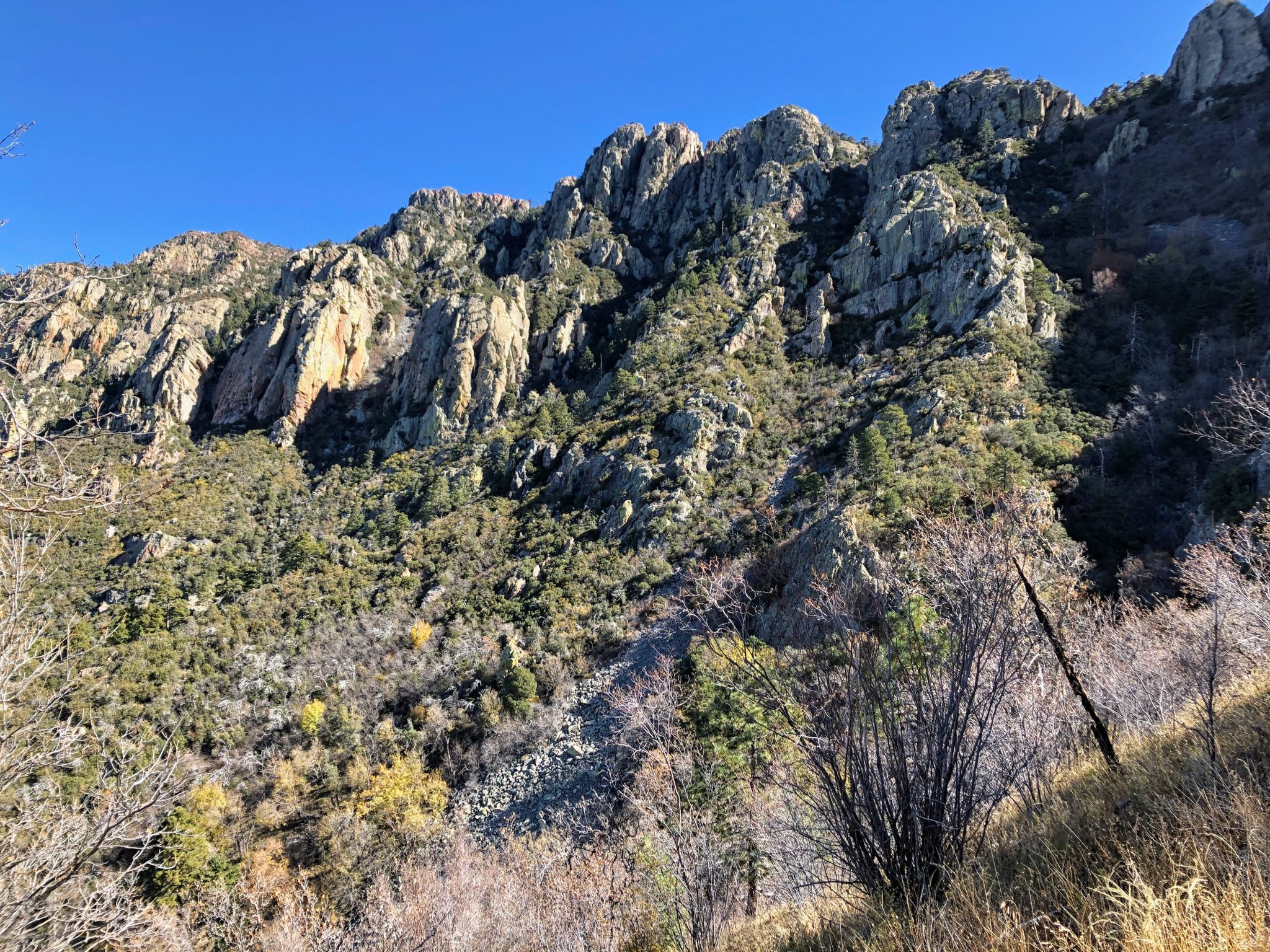
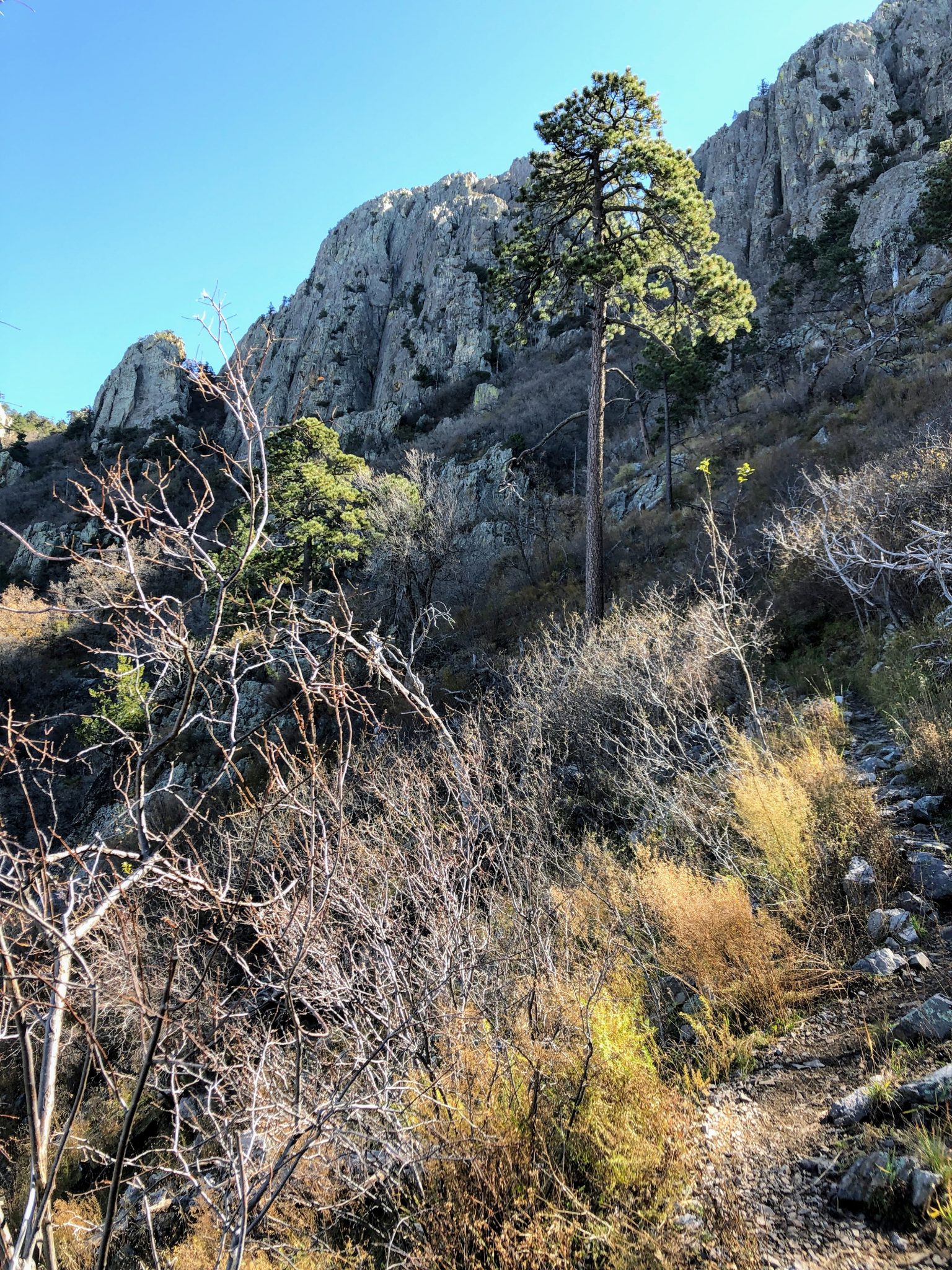
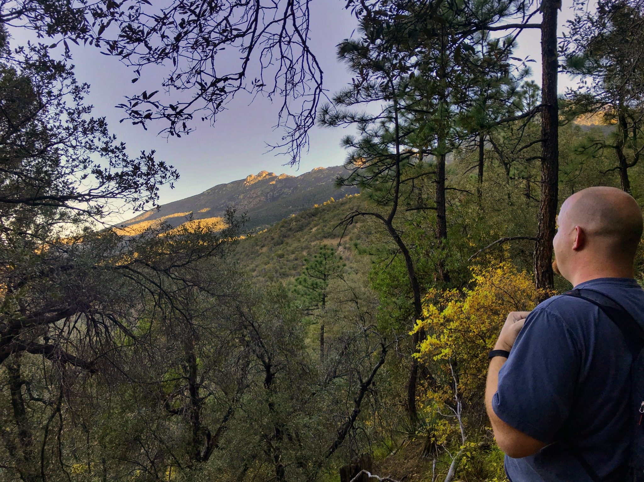
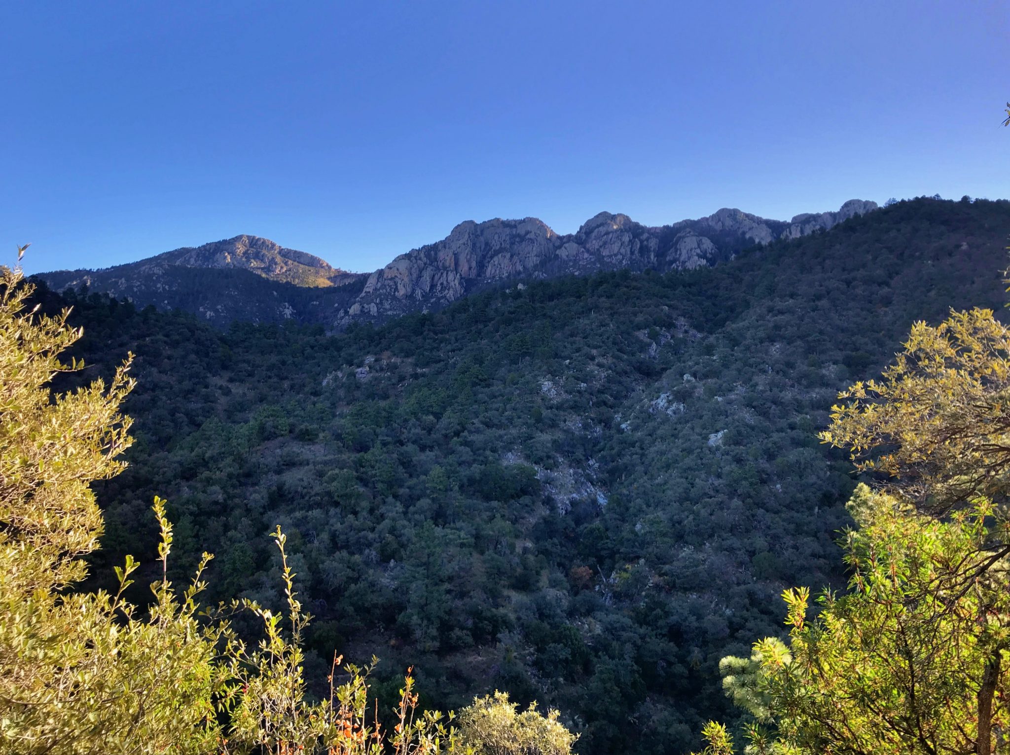
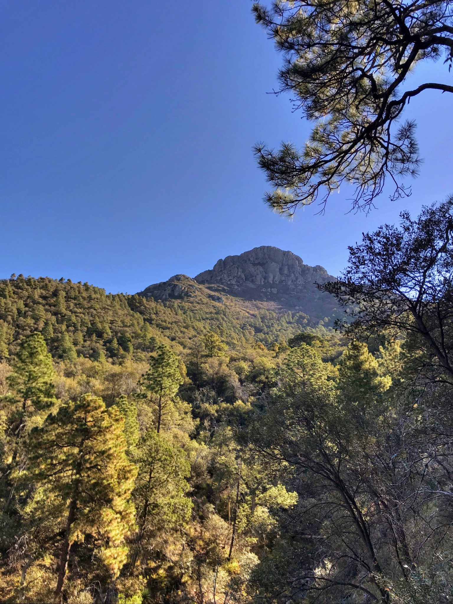
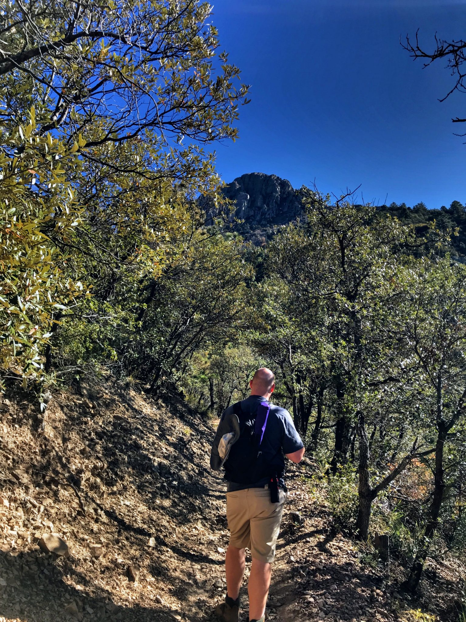
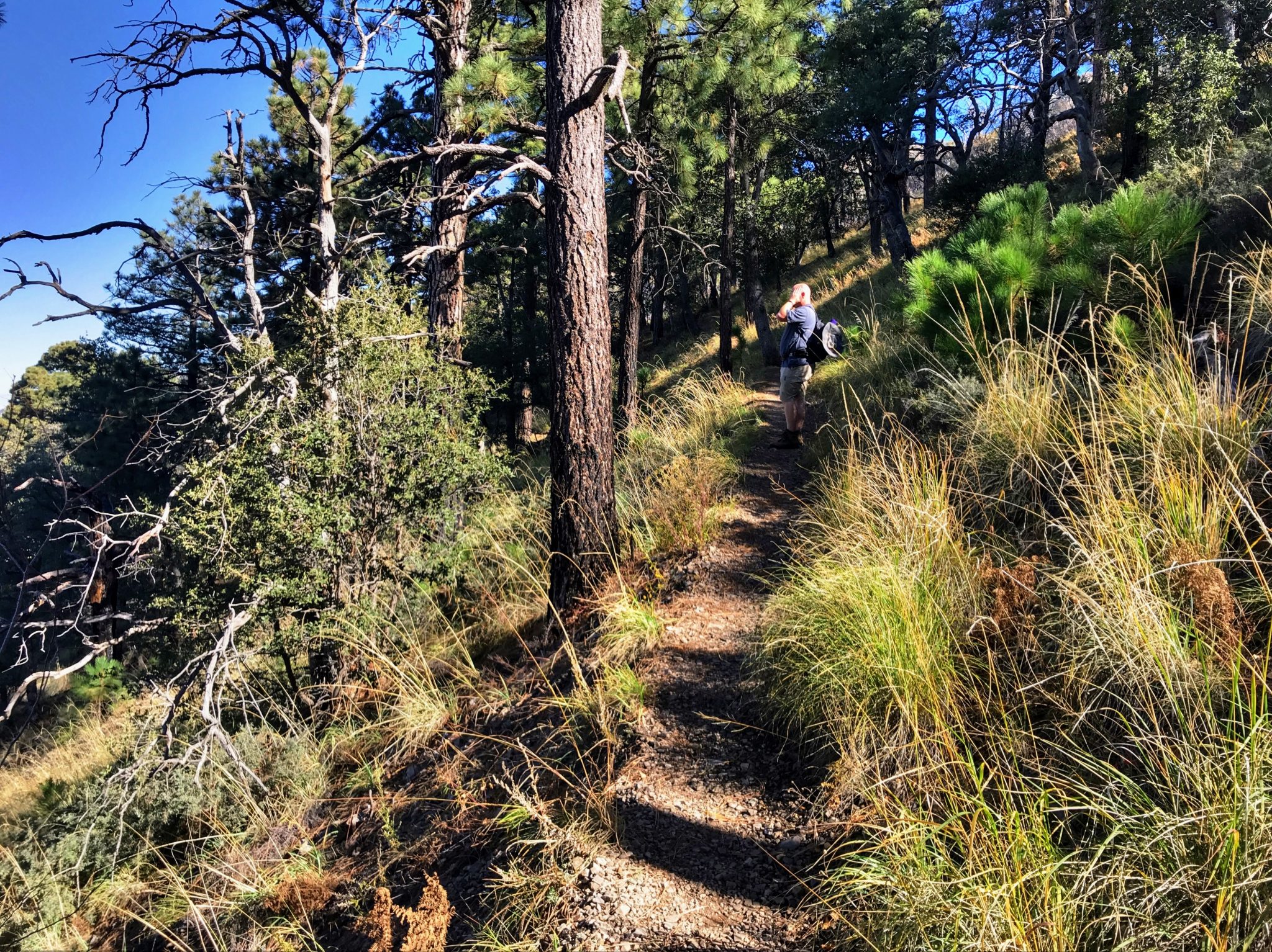
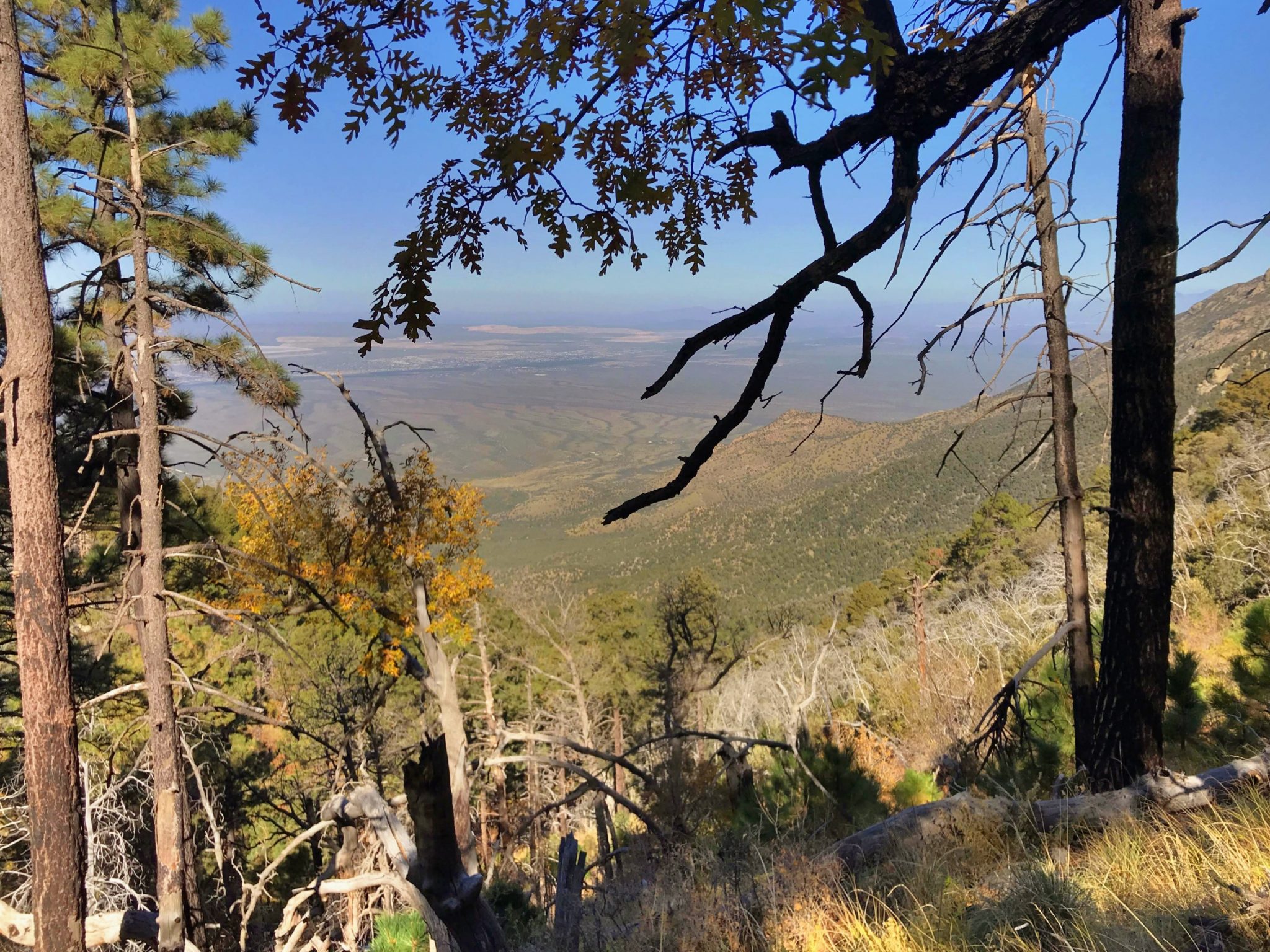
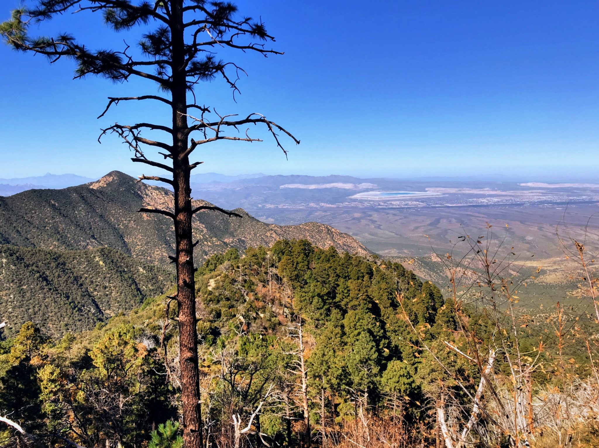
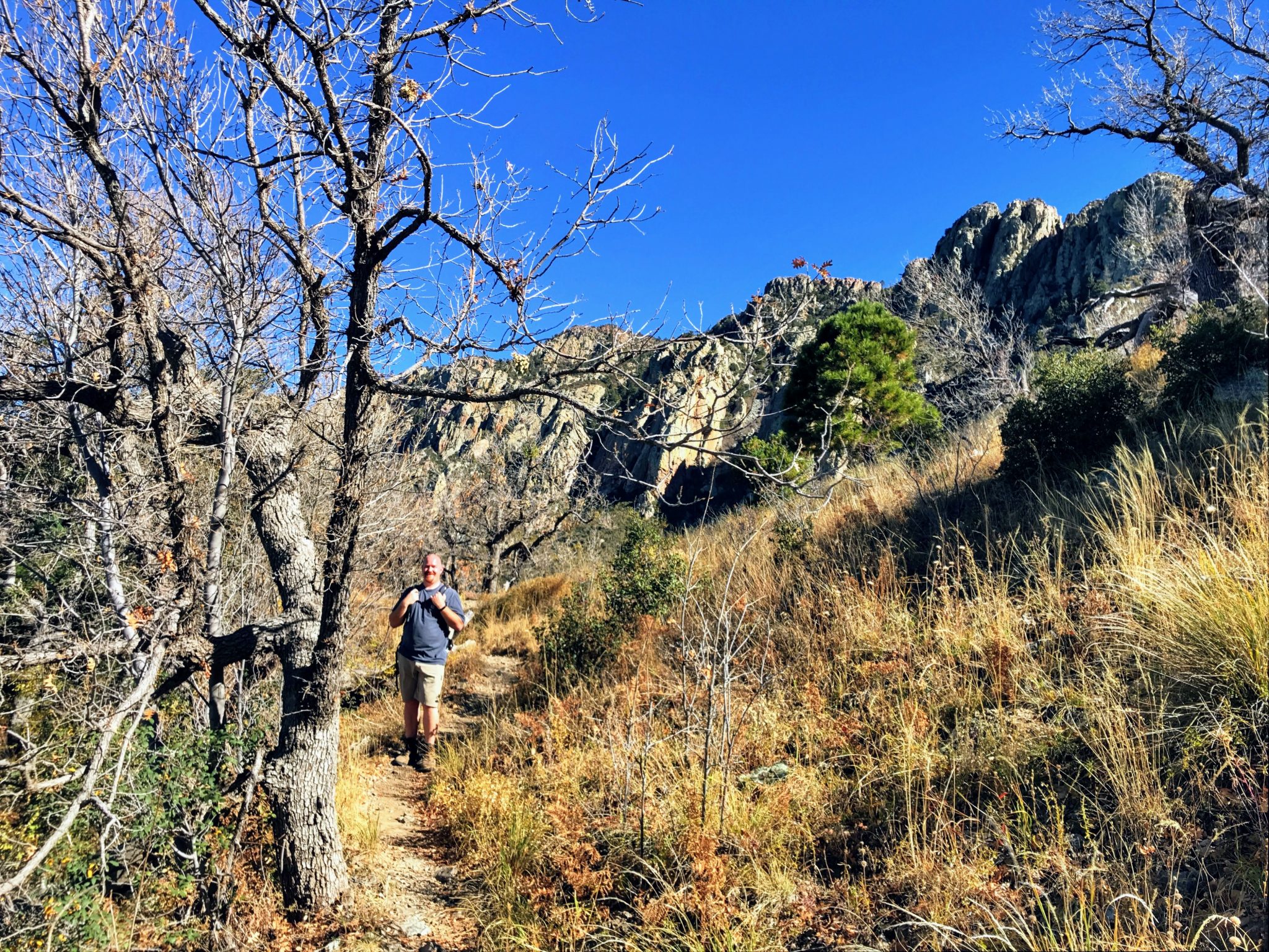
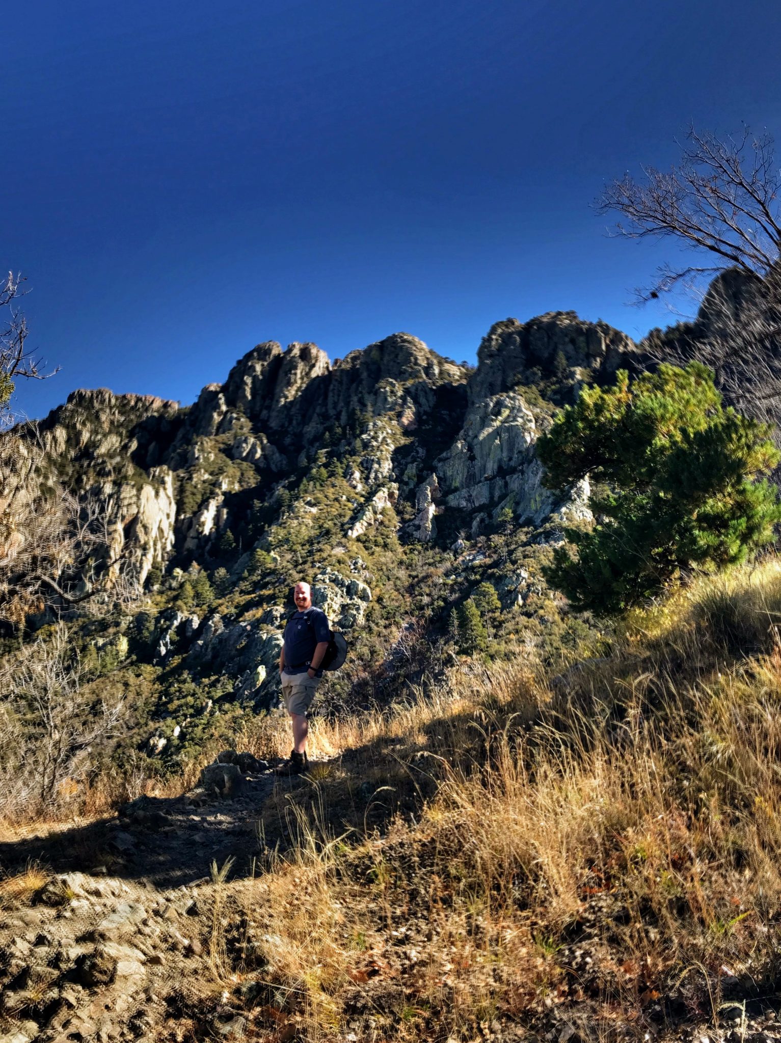
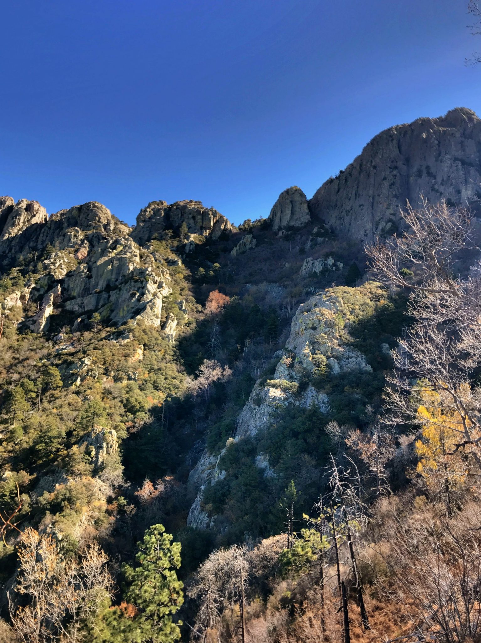
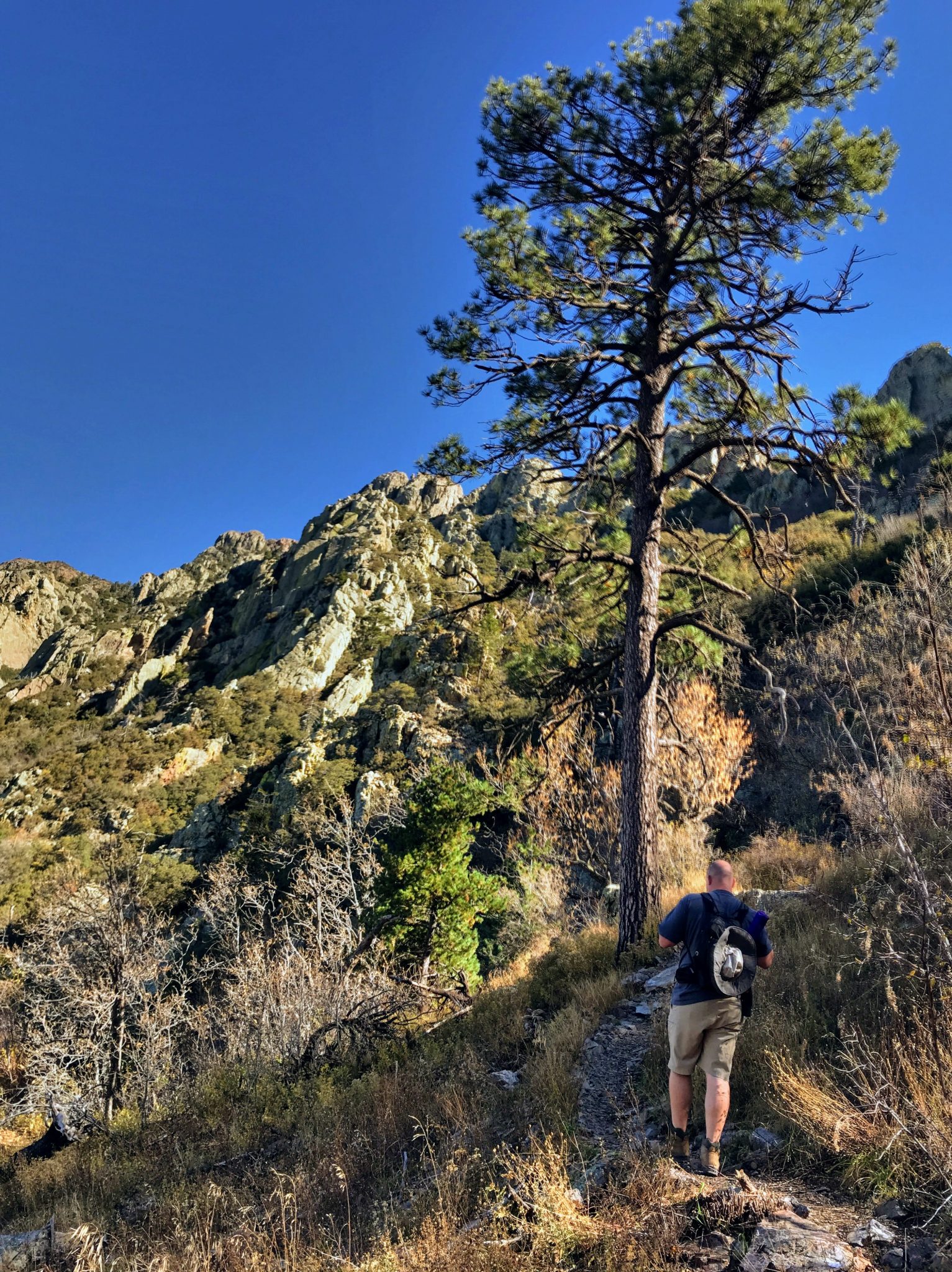
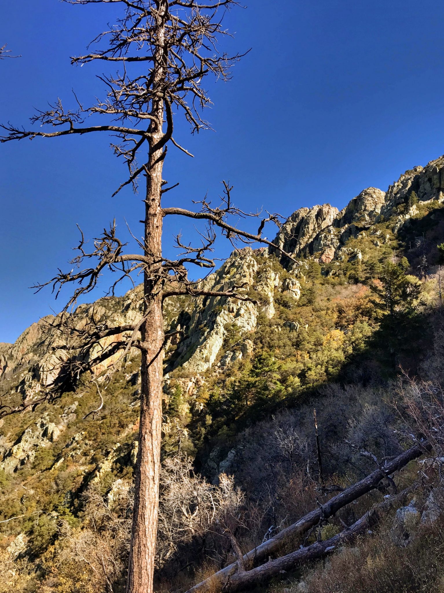
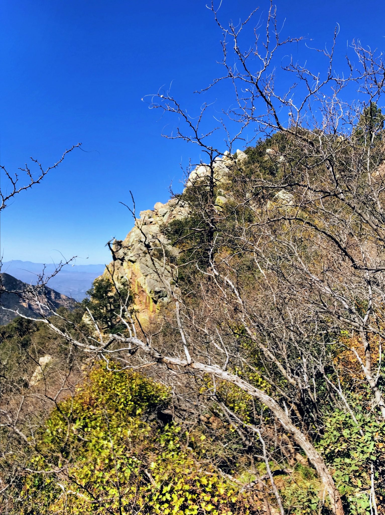
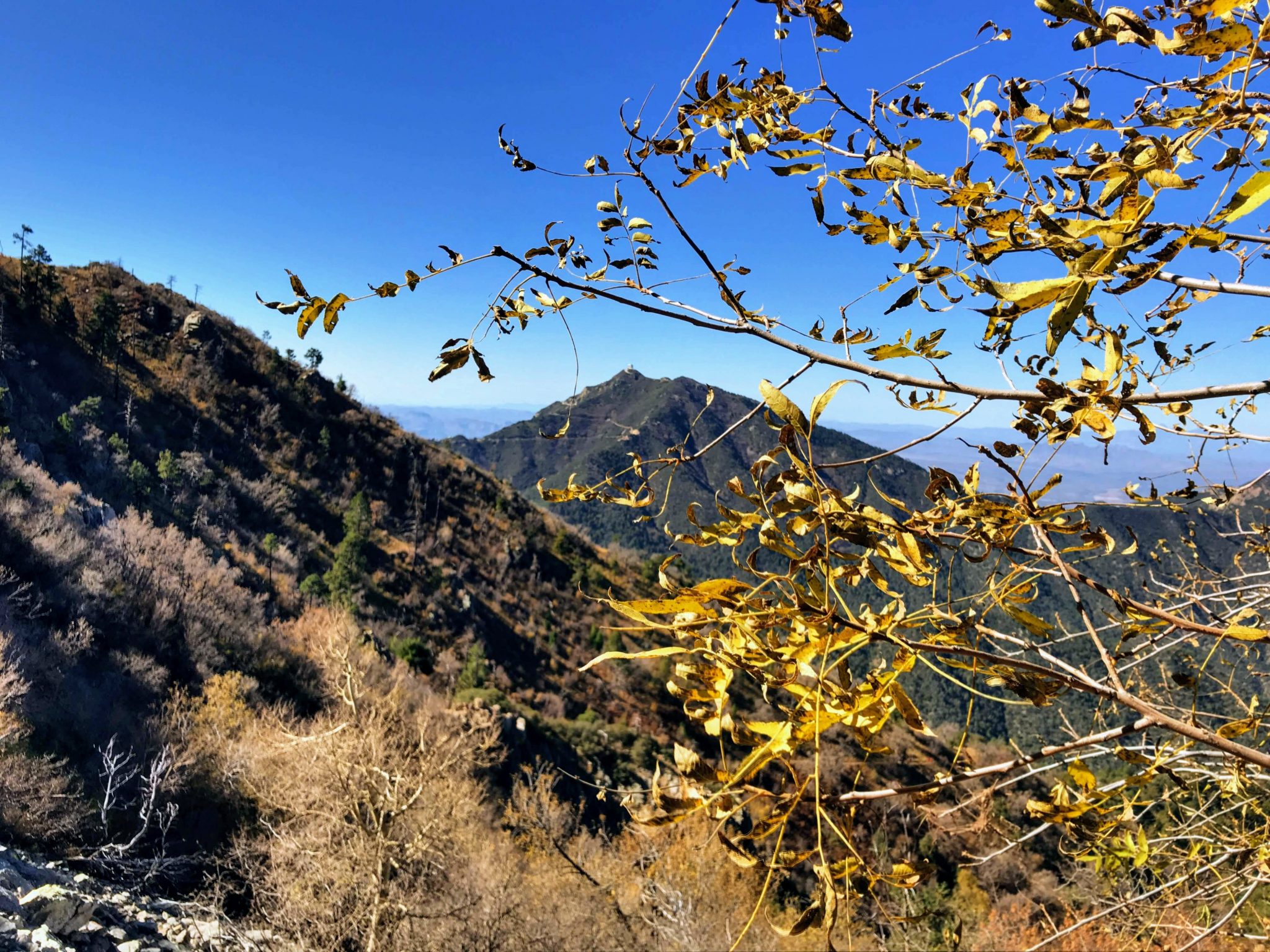
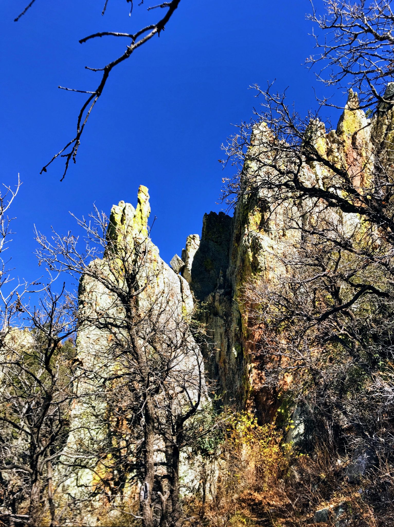
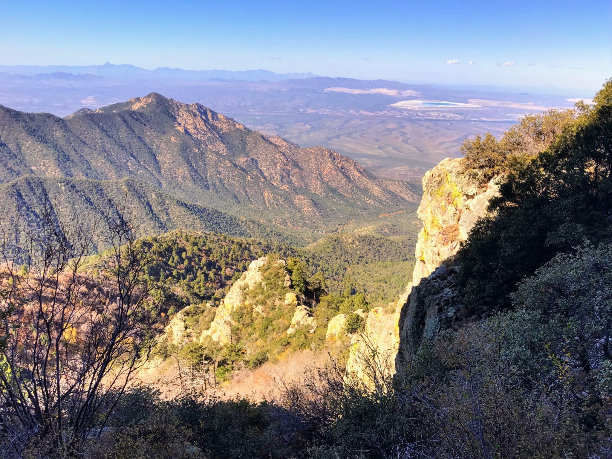
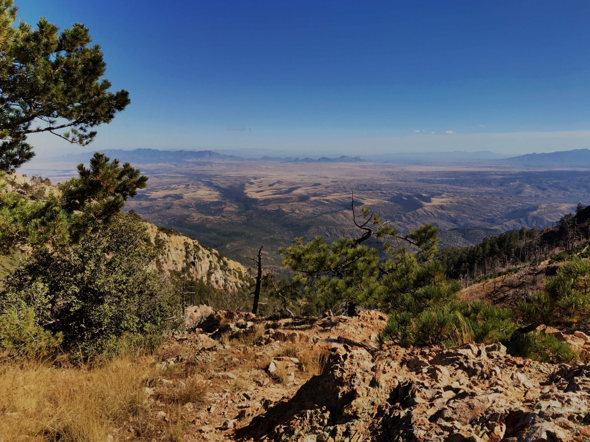
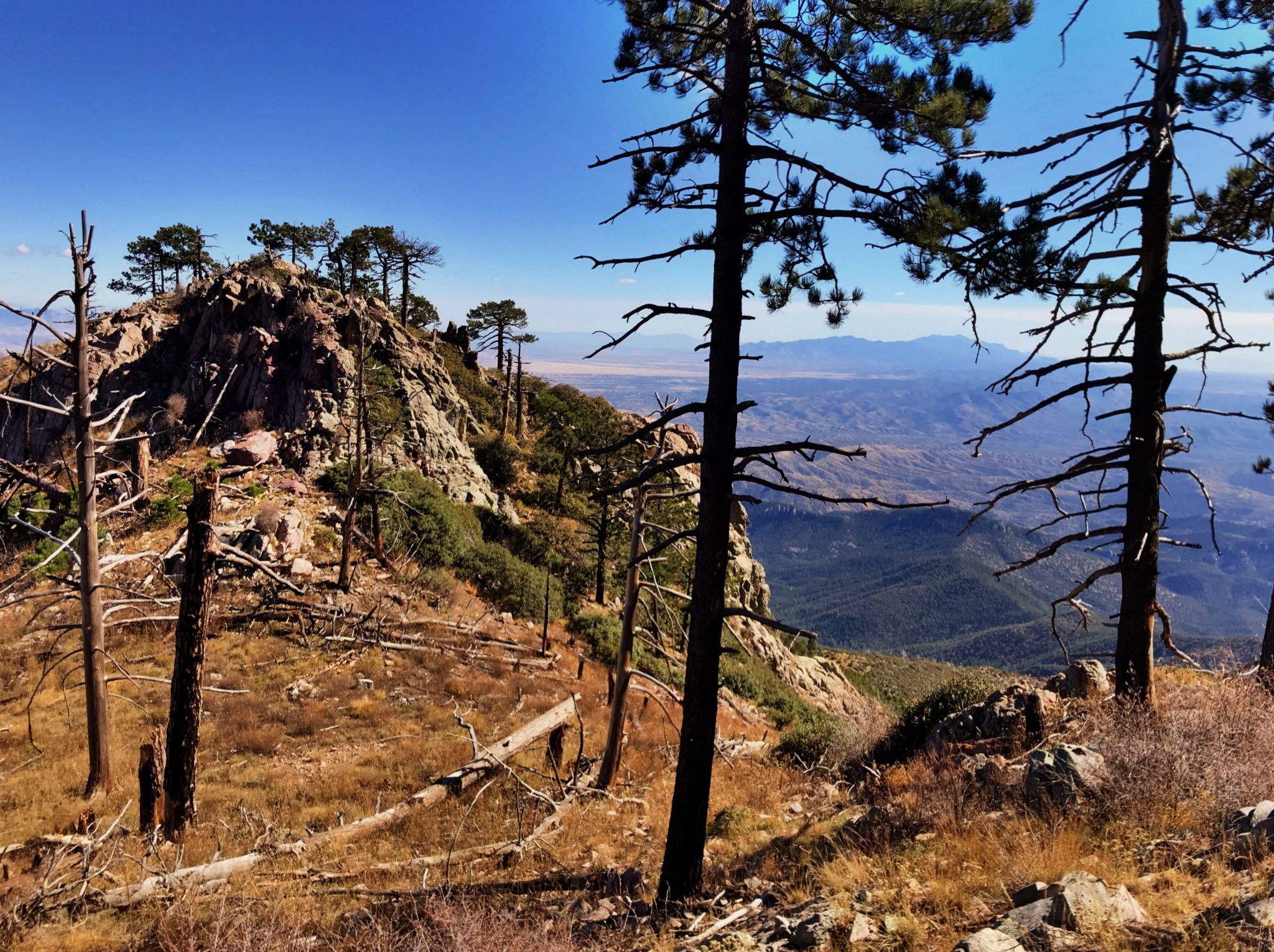
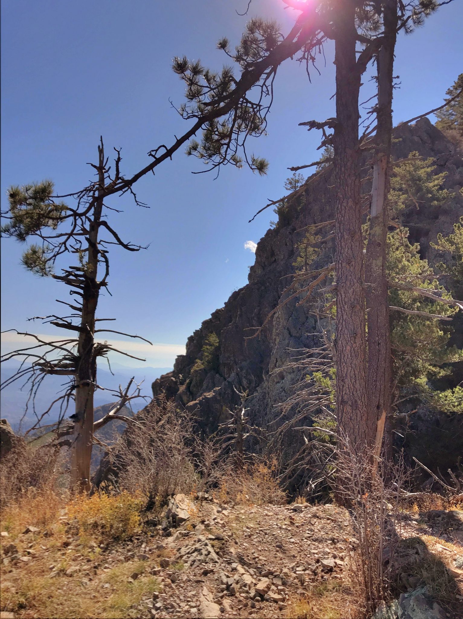
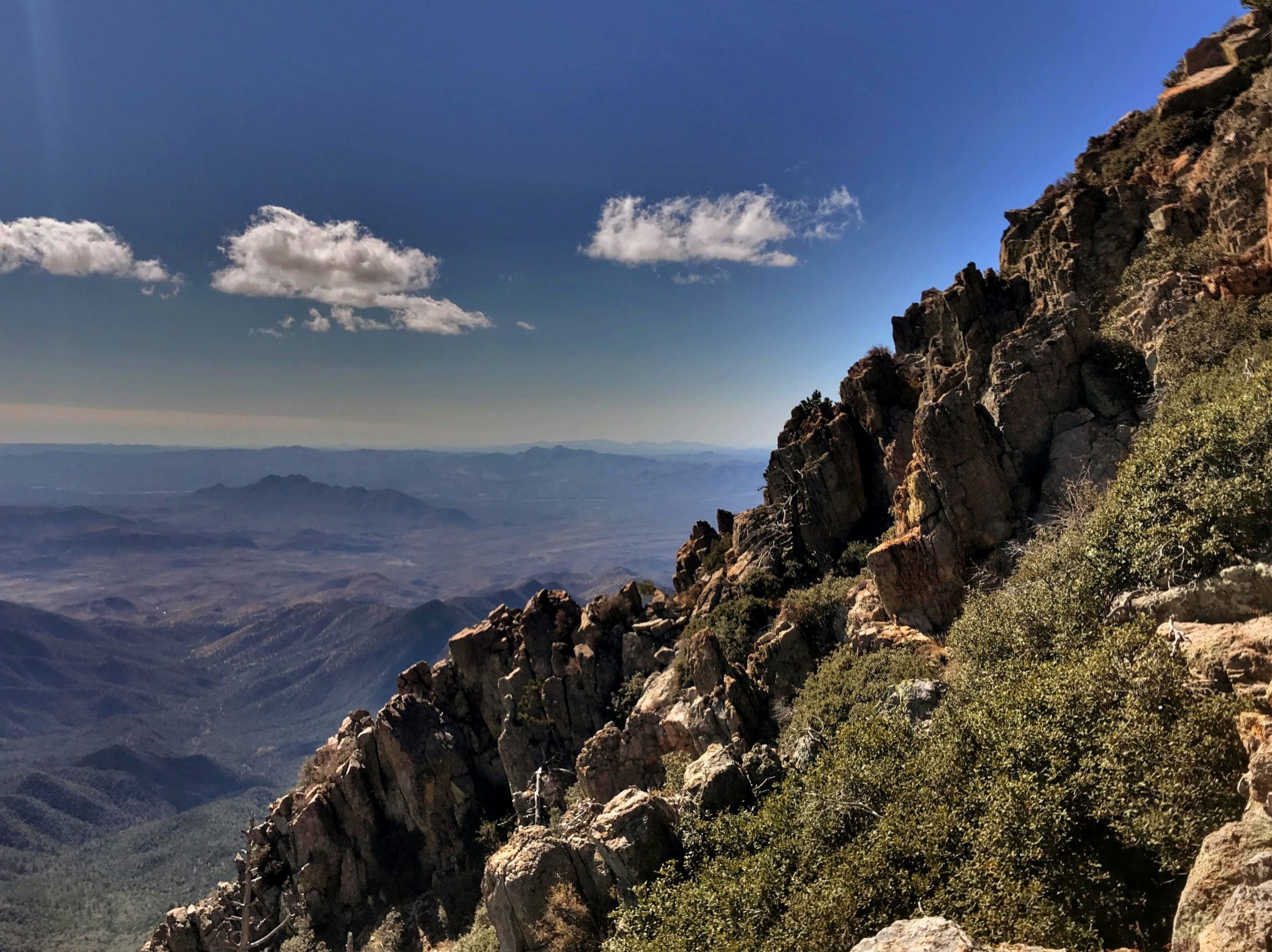
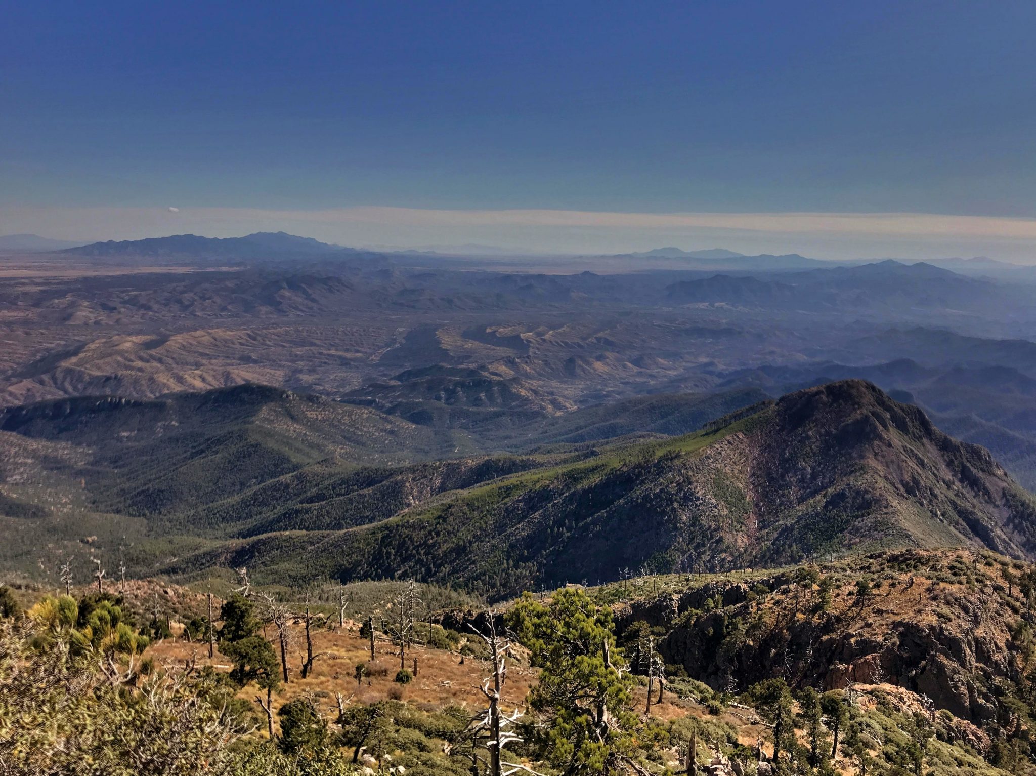
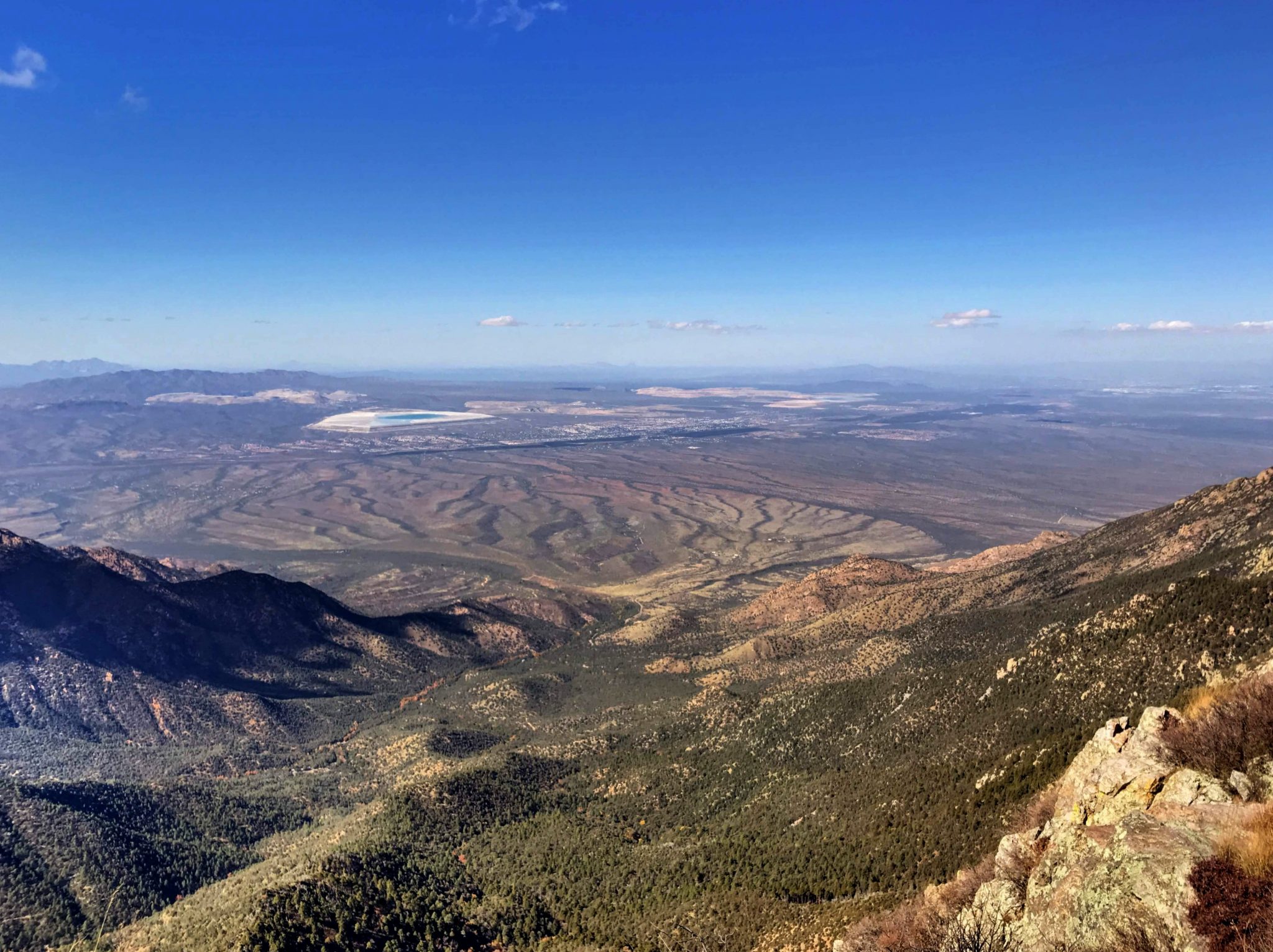
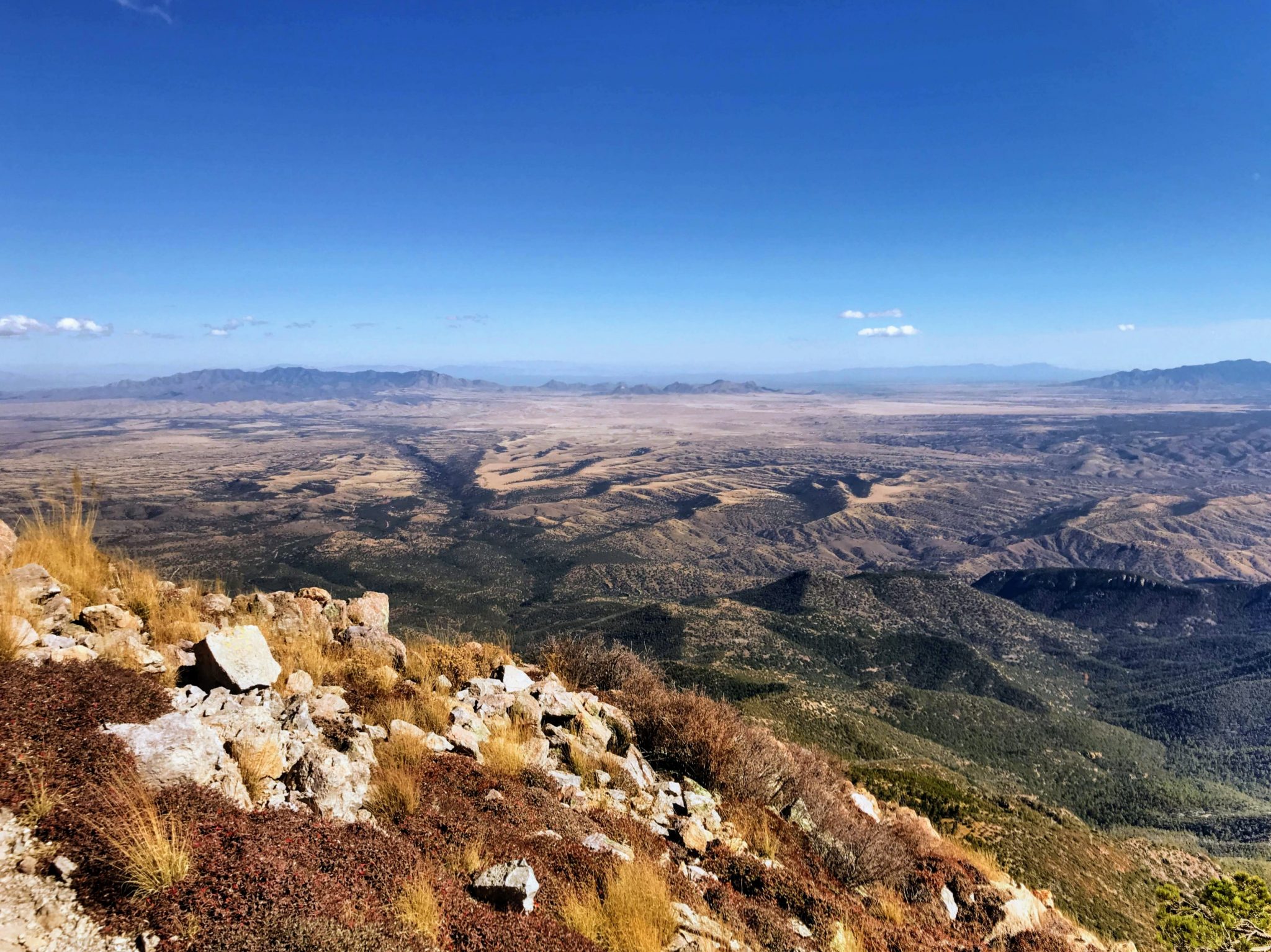
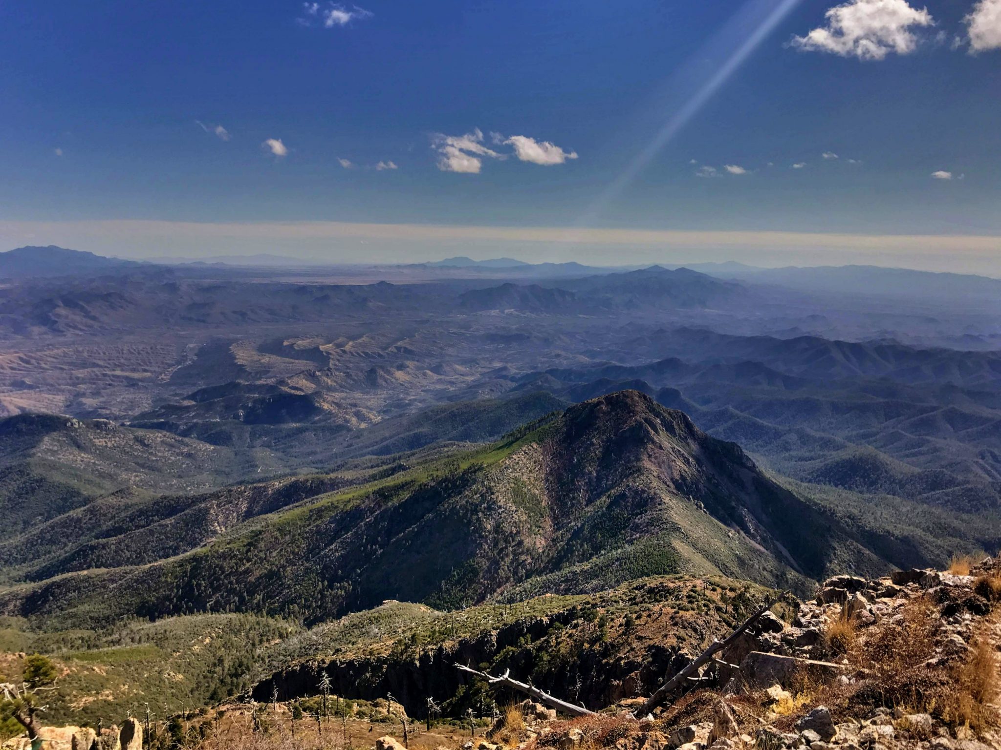
Mt. Wrightson is situated in the Santa Rita Mountains in South East Arizona. An approximately 5000 Ft. gain in elevation of the the course of 5 miles – it’s a climb that doesn’t let up easily, but rewarding nonetheless with its views and awesome beauty.
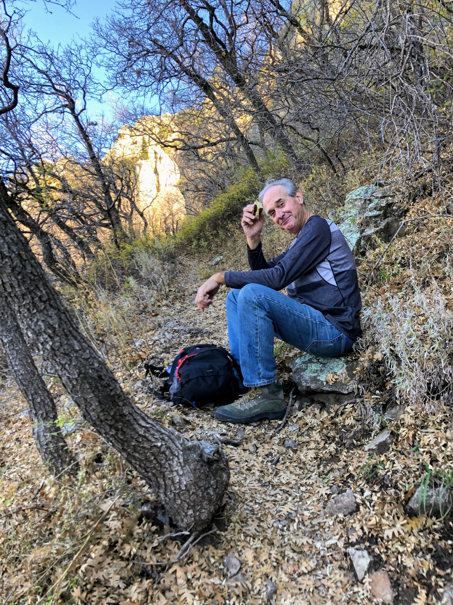
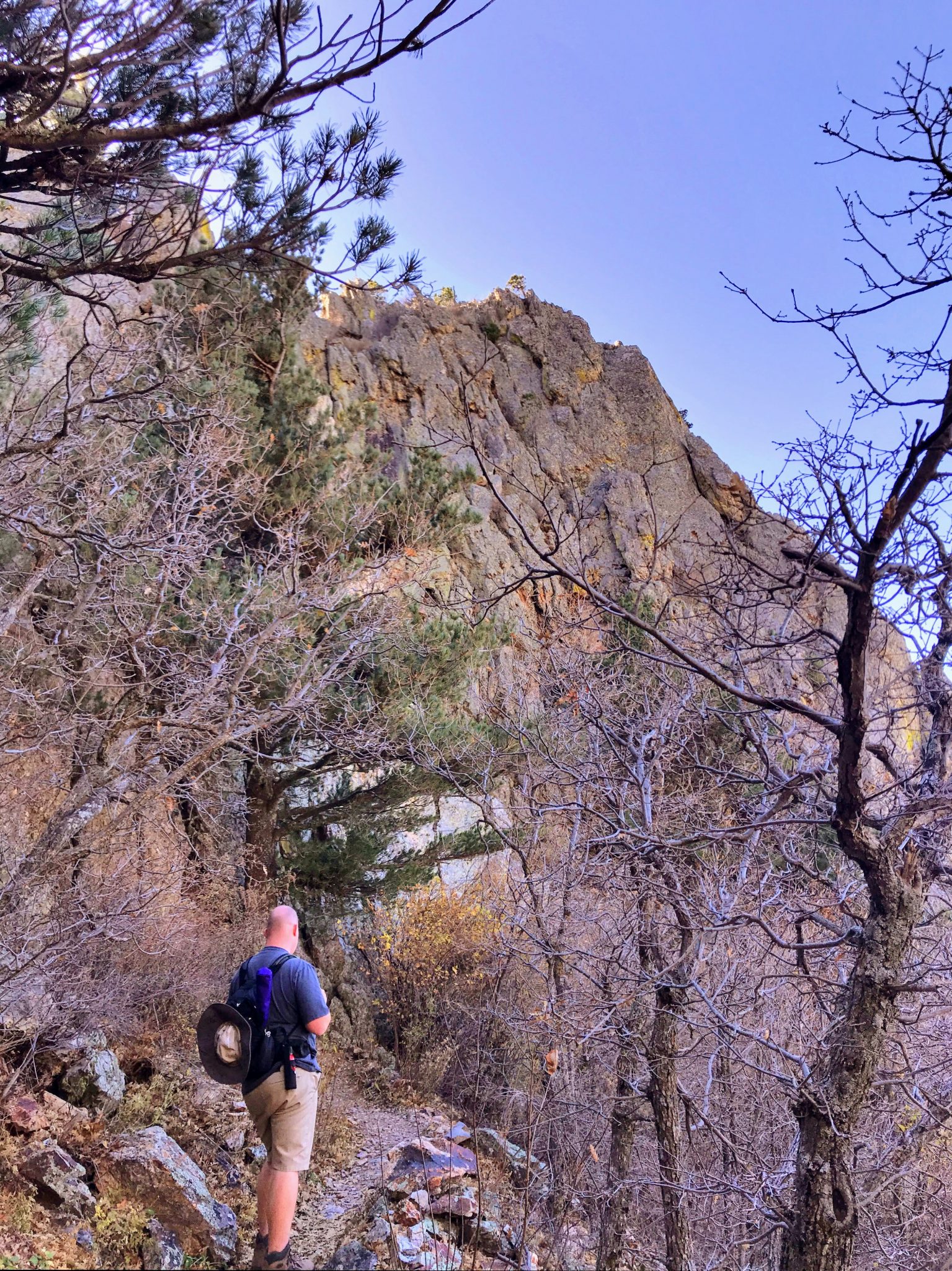
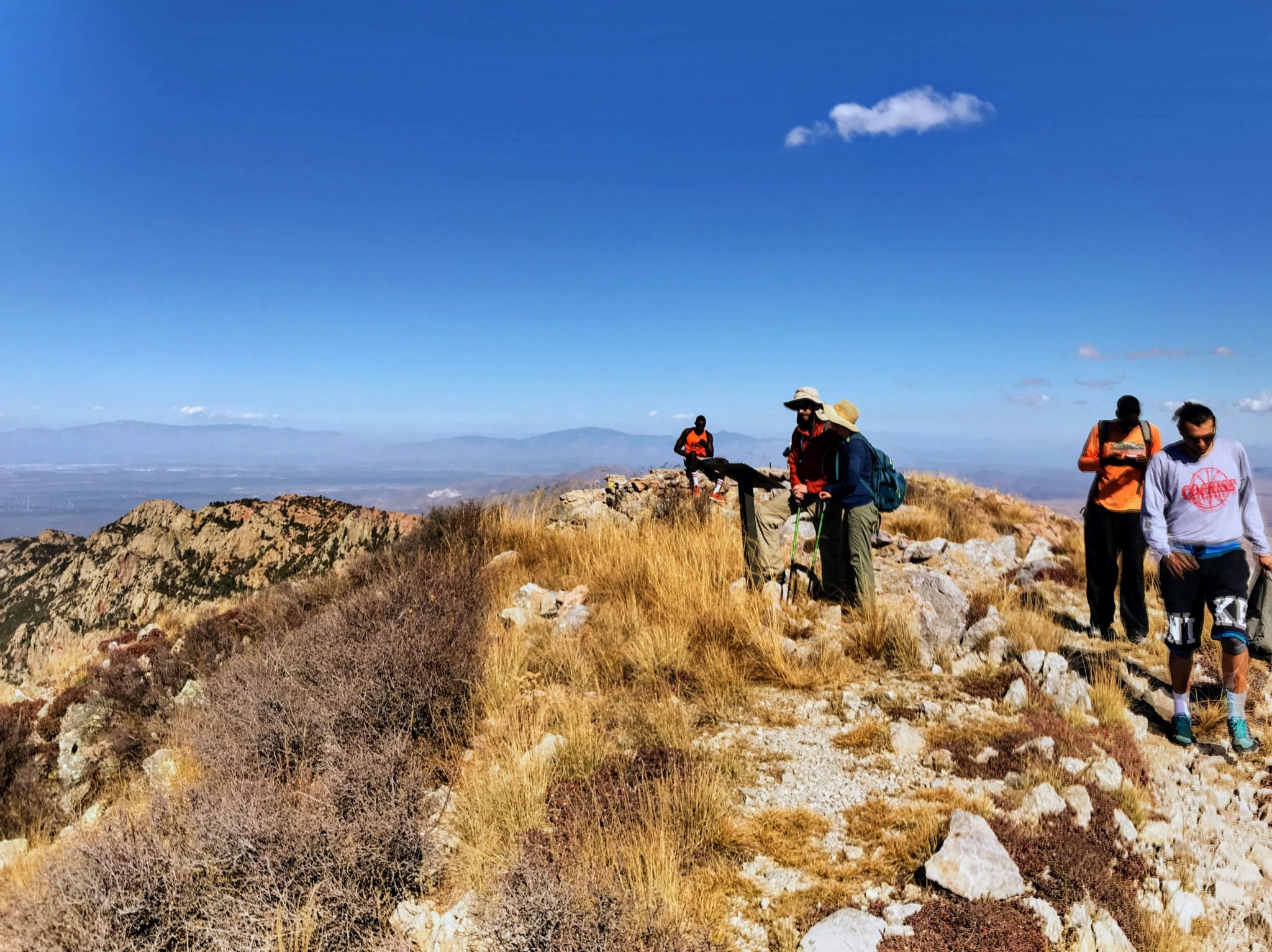
We hit the trail at 7AM hoping to hit the summit at 12PM or so; in reality we hit this closer 1PM as the climb fought us a little harder than anticipated. Activated a few stations at first but we were unable to use the Arrow II yagi since I had brought the wrong adapter (go figure!); still, with rubber ducky on the HT, we managed to squeeze out the 4 contacts required for a successful activation. We headed back down from the summit around 2PM, but not without enjoying a blue-moon kept cool in a thermos. It’s said strenuous activity and beer don’t mix – but I wholeheartedly disagree; there is nothing better to reward yourself with after working yourself over for the past 5 hours.
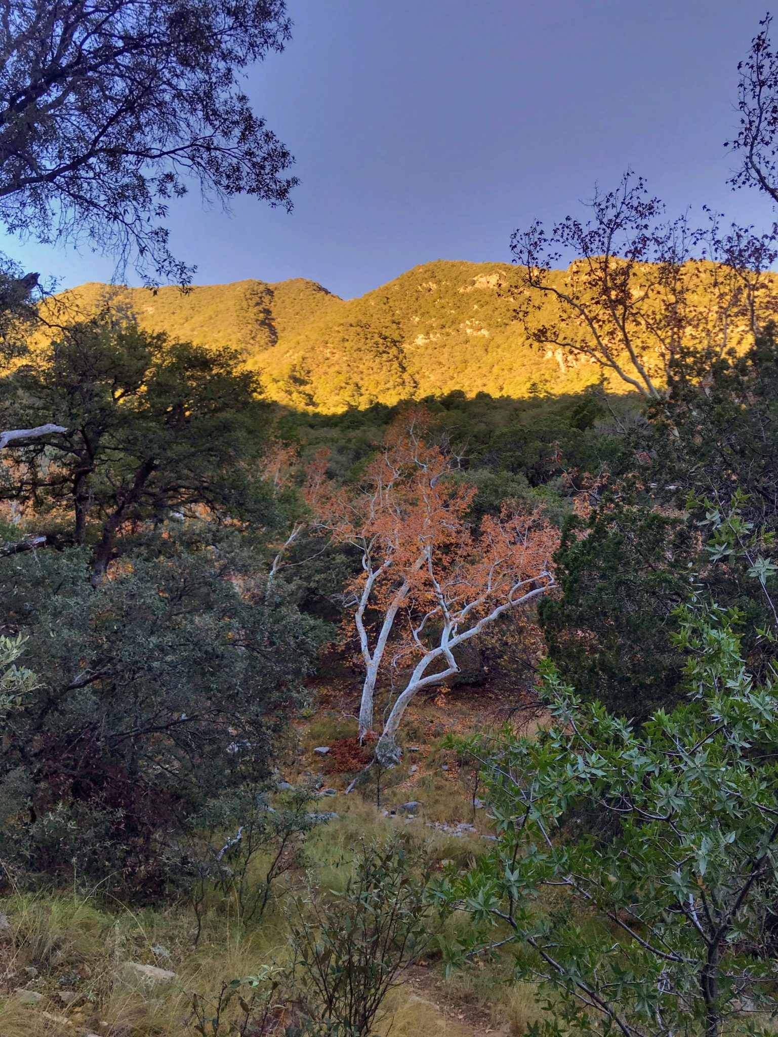
We made it back down to the parking area around 8PM; descent took longer due to joint fatigue which made the last mile very difficult. Nothing taking your time can’t fix – good thing we had a flashlight with us because the original plan definitely was not to stay out past dark. As the motto goes; ‘Be Prepared!’ is never an understatement.
Stations activated:
| Date | Time | Call | Band | Mode | Notes |
| 10-Nov-18 | 20:16Z | KI7OFL | 144 | FM | |
| 10-Nov-18 | 20:17Z | KI7LLD | 144 | FM | |
| 10-Nov-18 | 20:49Z | N7BXX | 144 | FM | |
| 10-Nov-18 | 20:55Z | K7HAB | 144 | FM |
GPS Track:
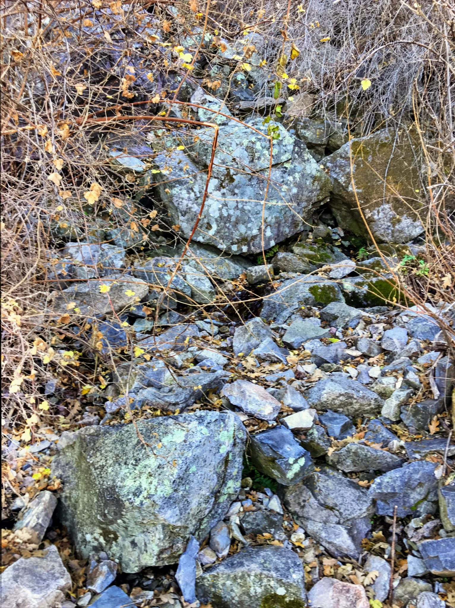
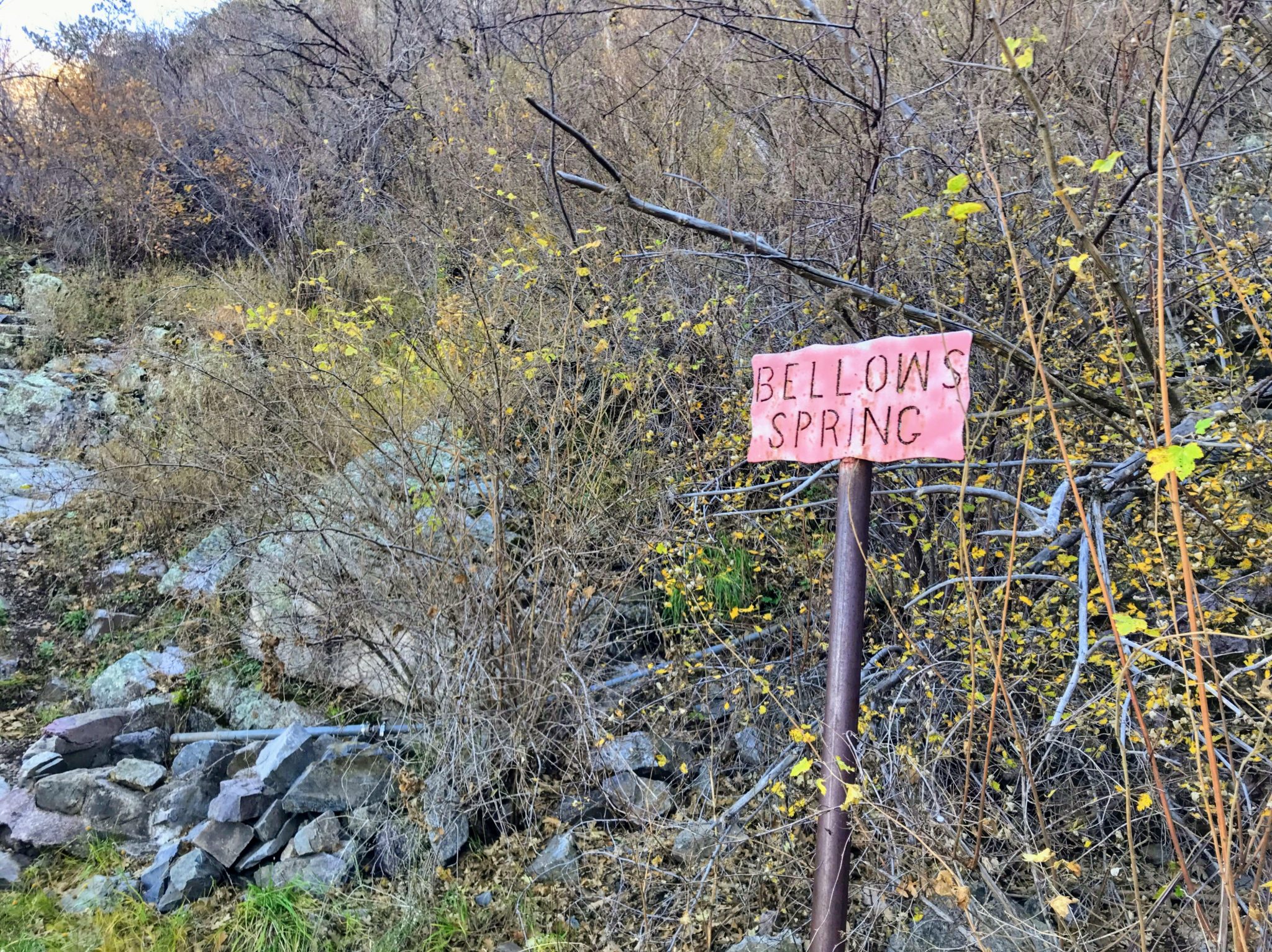
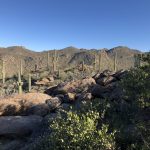
Photos:


 Next Post